
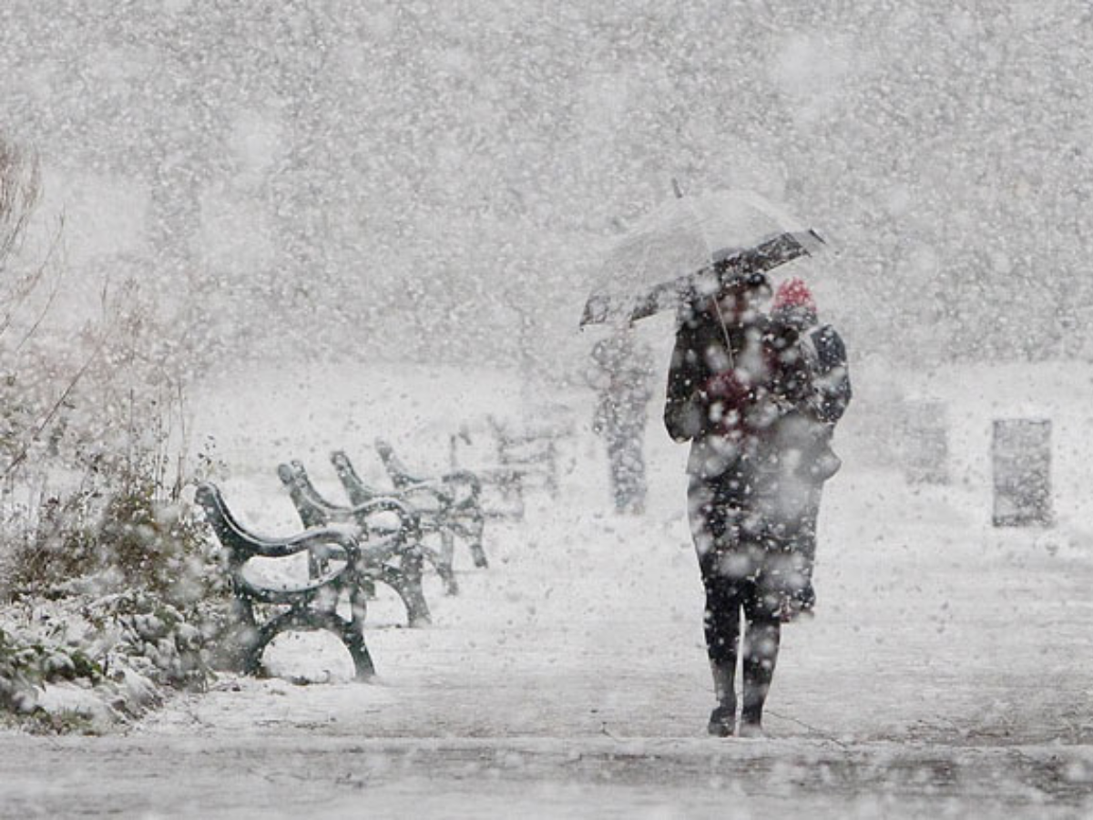
US Snow Update: A potent winter storm is tracing its own frozen footprint across America and is now moving on to its next stop, the Northeast. It stretches from Texas down to New England and has more than 2,000 miles to map its route through ice, cold, and general disruption and chaos. This weekend’s storm is looking to be one of the biggest weather events of the season for cities such as New York and Philadelphia, not only in terms of the depth of the winter weather, but also its timing and the consequences that come from its wake.
What time is the Snow Supposed to Start USW
Snow is expected to begin early Sunday morning across much of the northeastern United States, starting between 3 a.m. and 6 a.m. with intensity increasing through late morning and early afternoon hours.
When the Storm Arrives & How It Unfolds
According to forecasts in the New York City area, the snow is expected to begin as early as daybreak on Sunday morning and furthermore, the intensity is expected to increase in the morning hours. According to forecasts, the heavier intensity of the snow will be felt in the afternoon hours as rates intensify to about one to two inches per hour and subsequently, by the end of the night, the system is expected to weaken to scattered snow showers.
Snow, Sleet & Ice: A Complicated Mix
One chief concern is how the storm is going to change over in terms of temperature as it progresses. Heavy snow is expected in most areas but southern New Jersey and areas southeast and east of New York City could see a mix of sleet or freezing rain Sunday afternoon into the evening. Even a thin glaze of ice can create hazardous road conditions. Half an inch or more of ice can down trees and power lines, significantly increasing the potential for prolonged outages.
Expected Snowfall Totals & Rates
There is a lack of uniformity in terms of the snow fall. While the areas in the South need a snow fall of about 4 to 8 inches, the areas in the North need a fall of about 12 to 16 inches. While moving along I-95, areas including Philadelphia need about 8 to 12 inches of snow fall. But on Sunday, there is a need of a heavy fall, which is a very important point.
Travel Disruptions & Safety Concerns
The storm has already caused cancellation of over 9,000 flights across the nation. Additionally, the roads may be hazardous or even impassable over much of the area affected by the storm. As the snowfall comes to an end Sunday night, arctic air will arrive which will freeze the snow in place.
What are the biggest snowstorms in Philadelphia area history?
Blizzard of January 1996
- Total snowfall: 30.7 inches
- Paralyzed the city for days and shut down roads, schools, and businesses
- Led to emergency snow removal measures, including dumping snow into rivers
February 1983 Snowstorm
- Total snowfall: Just over 21 inches
- At the time, it set the city’s all-time snowfall record
- Part of a series of powerful winter storms that month
February 2010 “Snowmageddon”
- Total snowfall: 28.5 inches
- Fell over multiple storms within a short span
- Caused extended closures and major transportation disruptions
December 2009 Winter Storm
- Total snowfall: 23.2 inches over two days
- One of the largest December snowfalls in city history
- Caught many residents off guard early in the winter season
February 1899 Great Arctic Outbreak
- Heavy snow combined with record-breaking cold
- Ice blocked rivers and crippled rail transportation
- Remains one of the most severe winter periods in regional history
February 1947 Snowstorm
- Total snowfall: More than 20 inches
- Snowdrifts reached several feet in some areas
- Required National Guard assistance for cleanup and relief