
New Delhi experienced a significant dip in temperatures on Monday, making Republic Day 2026 one of the coldest in recent history. Parts of the capital recorded temperatures as low as 3.6°C, reflecting isolated cold wave conditions across the region. Meanwhile, residents faced a deterioration in air quality, with the Air Quality Index (AQI) slipping back into the “poor” category after a short-lived improvement earlier in January.
Meteorologists say this chilly start to the week is only the beginning of a weather shift that will bring rain, thunderstorms, and gusty winds to Delhi-NCR as a Western Disturbance progresses eastward.
Delhi Weather: Why It Feels So Cold: Temperatures and Wind Patterns
On Monday morning, several weather stations across Delhi recorded significantly low temperatures. Safdarjung, the official weather station, reported a minimum of 4.2°C, while Ayanagar saw the mercury plunge to 3.6°C. These values mark one of the coldest Republic Days in the capital in the past five years, with the last similar cold spell in 2021.
Daytime warmth was modest, with the maximum temperature touching around 23.2°C, slightly above seasonal averages, but the chill persisted during early hours due to clear skies and cold northwesterly winds.
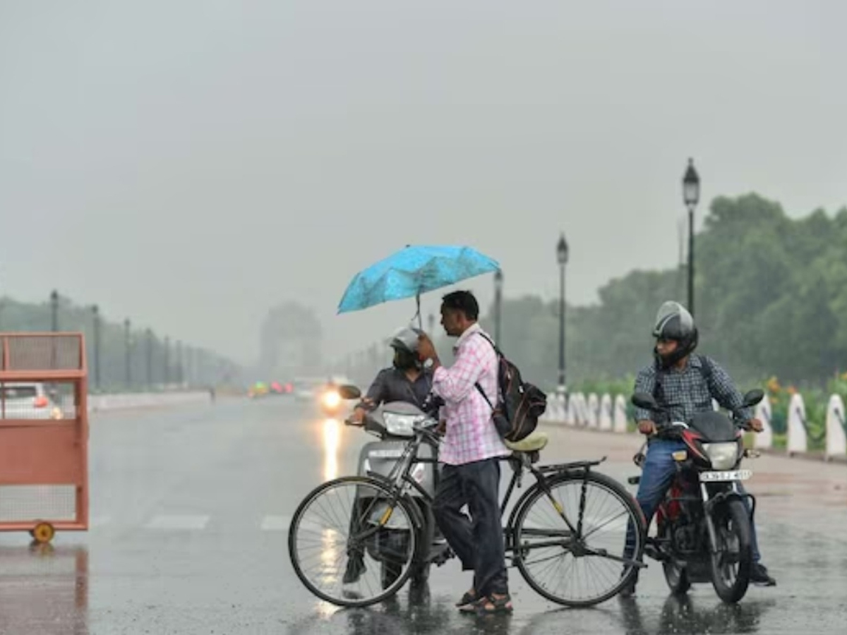
Delhi Weather: Rain and Thunderstorms Likely on Tuesday
The India Meteorological Department (IMD) has issued a yellow alert for rain and thunderstorms across Delhi-NCR on Tuesday. An intense Western Disturbance tracking across the northern plains is expected to trigger light to moderate rainfall, accompanied by gusty winds of 40–50 kmph and possible hailstorms in some areas.
Thunderstorms and lightning are also expected as part of this system, marking a noticeable shift from the dry conditions seen earlier this winter. The weather event is expected to also bring rainfall to parts of the western Himalayan region, especially during the next 48 hours.
Delhi Weather: Air Quality Worsens After Brief Improvement
After a short stretch of cleaner air conditions in the days leading up to Republic Day, Delhi’s air quality plummeted back into the “poor” category, with AQI readings around 241–281 on Monday morning.
Earlier in the month, a bout of rain helped clear the smog and briefly improve Delhi’s AQI, but the effect was temporary, as stagnant weather allowed pollutants to accumulate once again.
Pollutants such as PM2.5 and PM10 tend to spike during winter due to lower wind speeds and thermal inversion that traps pollutants close to the ground, making residents more susceptible to respiratory discomfort and health risks.
Delhi Weather: Impact on Daily Life and Safety Tips
The combination of cold mornings, poor air quality, and an incoming rain system means Delhiites should prepare for varied conditions in the coming days:
- Cold and damp conditions, especially during early mornings and late nights
- Rain, thunderstorms, and lightning risk, particularly on Tuesday
- Poor air quality levels might continue, despite expected rainfall
Residents are advised to carry umbrellas or raincoats, stay warm in the early hours, and consider limiting outdoor activity if air pollution starts affecting health.
Delhi Weather: Western Disturbance; What It Means for the Region
Western Disturbances are common in North India during winter and early spring. These weather systems originate over the Mediterranean region and move eastward, bringing changes such as:
- Rainfall over plains like Delhi
- Snow or showers in the Himalayas
- Wind shifts that can briefly raise minimum temperatures
The current disturbance is expected to bring measurable impacts over the next couple of days, possibly moderating the severe cold but also contributing to wet weather.