
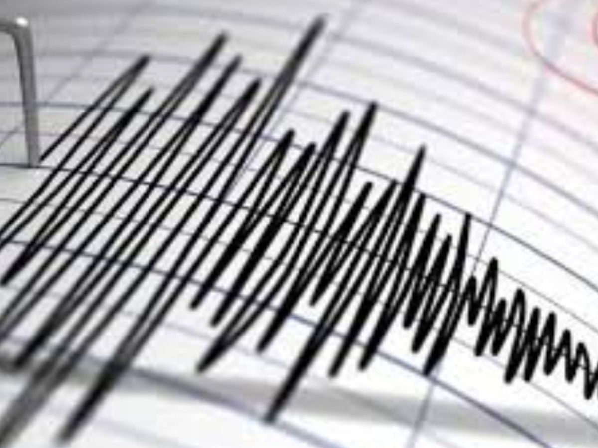
Earthquake Today: A mild earthquake measuring 4.1 on the Richter scale struck an area west of Bandar Abbas in southern Iran on Saturday, March 7, 2026. The information was reported based on data released by the U.S. Geological Survey (USGS).
The earthquake occurred at 03:18:12 UTC, which was around 06:48 in the morning local time in Iran. According to the seismic report, the tremor originated at a depth of nearly 10 kilometres below the surface, making it a relatively shallow earthquake.
Epicentre Located Near Strait of Hormuz
Data from the USGS shows that the epicentre of the earthquake was located approximately 74 to 75 kilometres west of Bandar Abbas, a major port city in Hormozgan Province.
The recorded coordinates were about 27.142° north latitude and 55.530° east longitude. This area lies close to the northern side of the Strait of Hormuz, an important maritime passage in the region.
Geologically, the location falls within the Zagros fold and thrust belt, which is widely known as one of the most earthquake-active zones in the Middle East.
This region experiences frequent seismic activity because it sits along a boundary where the Arabian Plate is gradually colliding with the Eurasian Plate. The movement between these tectonic plates regularly produces earthquakes across large parts of southern and western Iran.
No Immediate Reports of Damage or Casualties
So far, officials have not reported any deaths, injuries, or major damage following the earthquake.
A tremor with a magnitude of 4.1 is generally classified as a light earthquake. Such quakes usually cause mild shaking close to the epicentre. People living in Bandar Abbas and nearby towns may have felt a brief vibration.
In some cases, earthquakes of this size can cause windows to shake or small household items to move slightly. However, they rarely lead to serious destruction unless they occur directly under heavily populated areas.
Iran’s High Earthquake Risk
Iran is considered one of the countries most vulnerable to earthquakes because it sits on several active geological fault lines.
Areas around the Zagros Mountains often experience small to moderate earthquakes as tectonic forces continue to push the plates together.
Seismic monitoring agencies and local authorities are keeping a close watch on the situation. As of now, no aftershocks have been recorded and no emergency warnings have been issued.