The US Trade Representative deleted a social media post showing PoK and Aksai Chin as part of India, drawing attention amid India-US trade talks and diplomatic sensitivities.
The US Trade Representative deleted a social media post showing PoK and Aksai Chin as part of India [Photo: X]
The Office of the United States Trade Representative (USTR) quietly removed a social media post that featured a map of India showing Pakistan-occupied Kashmir (PoK) and Aksai Chin as parts of Indian territory. The map was originally shared along with an announcement about an interim India-US trade agreement framework, but its deletion days later has raised questions in diplomatic circles.
The map’s depiction aligned with India’s long-held claim over the entire Jammu and Kashmir region, including disputed areas currently controlled by Pakistan and China. However, the removal of the post – without official explanation from the USTR or the US State Department – has stirred debate on the significance behind Washington’s cartographic choice and subsequent U-turn.
The original image, shared on the social media platform X by the USTR’s official account, displayed the full outline of India, including Pakistan-occupied Kashmir and Aksai Chin, areas that India claims as integral parts of its territory. These regions are subject to long-standing disputes: PoK is administered by Pakistan, while Aksai Chin is controlled by China but claimed by India.
This portrayal differed sharply from the United States’ historical practice, where official maps typically show disputed regions with dotted lines or disclaimers to avoid taking sides on sensitive territorial issues.
The unexpected map drew swift attention from media and analysts, especially because it appeared at a moment of growing economic cooperation between India and the United States.
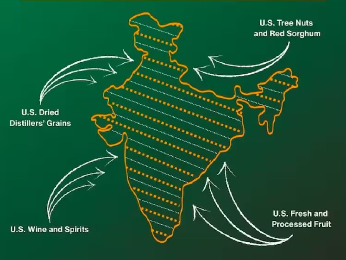
The map was posted alongside details of an interim framework for a bilateral trade agreement between the US and India, which included tariff cuts and other trade enhancements. Many observers saw the cartographic choice as symbolically significant, potentially hinting at a shift in how the US publicly represents contested territories.
India has consistently maintained that the entire region of Jammu and Kashmir, including areas under foreign control, is an “integral and inalienable part” of the country. Indian officials have publicly rejected maps shared by foreign governments, including past depictions by China and Pakistan that do not align with New Delhi’s territorial claims.
The deleted map was interpreted by some as a diplomatic nod toward India’s stance, especially during expanding economic ties. However, without official confirmation from either India or the US, its meaning remains subject to interpretation.
Just days after its appearance, the USTR’s map post was removed from its official X handle without any accompanying public explanation. Analysts suggest several possible reasons:
The deletion itself has prompted discussions among commentators and experts about the implications and whether it indicates internal policy differences or simply a cautious move to avoid diplomatic backlash.
India’s government has repeatedly stressed its position on territorial integrity in global forums. It has rejected maps released by other countries that do not align with its official boundaries, especially on issues related to Kashmir and Arunachal Pradesh.
At the United Nations, India has said its claims over these regions are clear and that others’ representations do not affect its sovereignty. Indian authorities have also criticised maps from foreign state bodies when they appear to undermine national claims.
While India has not officially commented on the USTR’s map deletion, the episode fits into a larger context of sensitivity around cartographic depictions involving India’s borders.
Maps are not merely geographical tools; they often carry political and diplomatic weight. When a country shows disputed regions as part of another nation’s territory, it can be interpreted as an implicit recognition of that claim, or at least a departure from longstanding neutrality.
In South Asia, disputes over PoK and Aksai Chin involve India, Pakistan, and China, all of whom have competing claims. The United States’ historic approach has been to treat these as disputed areas and refrain from endorsing one side’s version publicly.
The recent deletion highlights how even symbolic depictions in trade announcements can spark diplomatic debate, especially when territorial questions intersect with high-stakes agreements like trade frameworks.
With the map post removed and no official explanation provided, the immediate controversy has subsided — but questions remain about how the US will handle territorial representations in future communications.
Experts and commentators will be watching for any similar occurrences or clarifications from either government, especially as India-US ties evolve in areas of trade, security, and geopolitical cooperation.
At a time when cartographic choices can carry big diplomatic signals, even removed posts can leave lasting impressions on public discourse and foreign policy narratives.