US Weather Today: A major winter storm hits the U.S. this weekend, bringing heavy snow, ice and dangerous travel from Texas to New England.
Snow and sleet cover roads in the Northeast as a massive winter storm spreads across the U.S. (Photo: Pinterest)
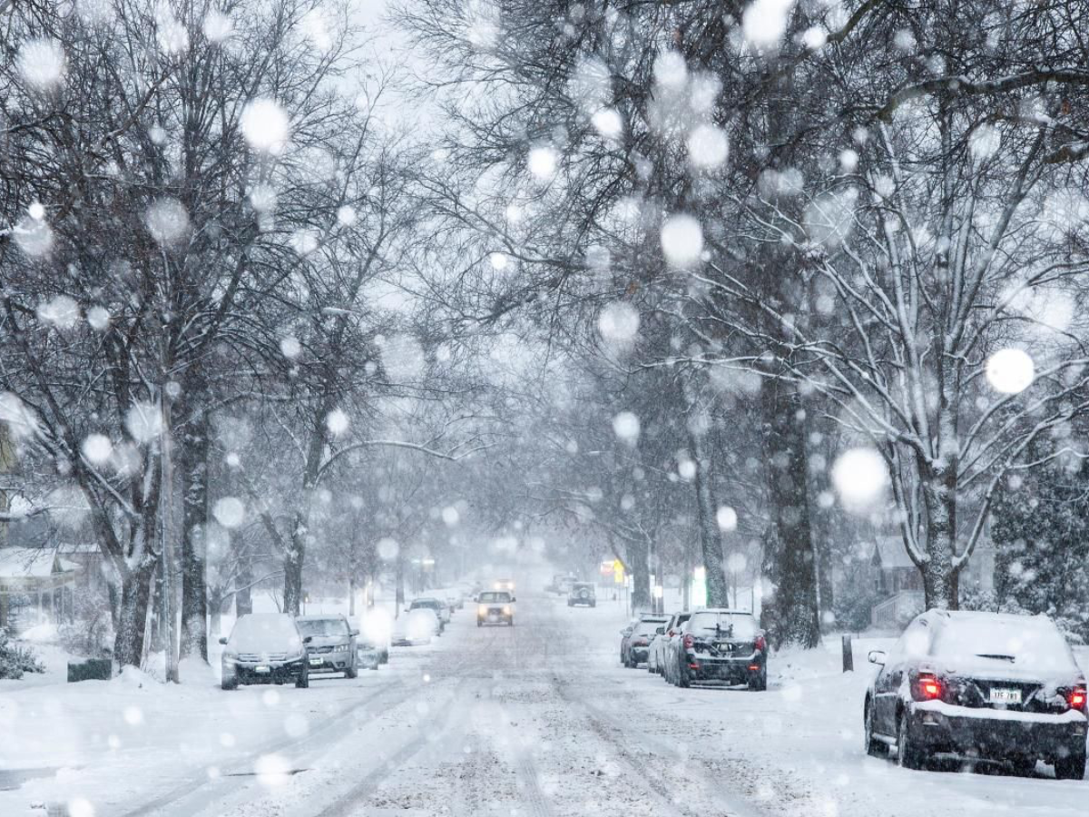
US Weather Today: Over the weekend, a powerful winter storm will be sweeping across the United States, promising heavy snow, ice and potentially record-breaking cold for millions. For over half the country from Texas well up into New England, this could be an impactful weather system leading to perilous travel and vast disruptions.
This snow and ice have already invaded the central and eastern regions of the U.S. and a portion of the South. It is progressing further toward the east, and the forecasts have already predicted heavy snow in this region of the Northeast on Sunday morning. The freezing level is dropping in this region.
Meteorologists say this storm could be among the worst in recent memory. More than 9,000 flights have already been canceled, and officials predict major delays along the I-95 corridor. In southern New Jersey and around New York City, a mix of sleet and freezing rain will join the snow, trimming snowfall totals but making travel particularly hazardous.
A light snow event appears to be brewing in Charlotte, North Carolina, which will begin Sunday morning between 10 a.m. and noon, with a 4- to 6-inch accumulative total forecasted in the metro area. The chance of sleet mixing in during the later part of the afternoon will create additional slick spots in the roads and increase the probability of localized power outages.
Snowfall is expected to begin in New York City around dawn on Sunday morning. It will get heavier in the morning hours before spreading to the afternoon. It will reach its maximum between 10 a.m. to 3 p.m. as snowfall rates of 1 to 2 inches per hour will take place before turning into scattered showers during Sunday night.
Snow is predicted to begin late Sunday morning in Raleigh and this is expected to amount to 3 to 5 inches. Sleet is also possible in the afternoon. This has raised black ice concerns on the roads. People have been advised to remain indoors.
Apart from Charlotte, other affected places in North Carolina include Raleigh and Asheville. Places in these states are preparing for snowfall and sleet. Weather forecasts for this area predict snowfall on Sundays during late morning with light city accumulations of 2 to 4 inches, with Asheville receiving as much as 6 inches.
Asheville may actually get the storm a little earlier, as it may start anytime between 9 to 11 a.m. on Sunday as the cool air keeps the falling snow from melting. Spans through the mountains along the highway would be hazardous, and it is better to restrict movement.
There will be a significant amount of snow in the Northeast, falling in increments of 4 to 8 inches from the southern areas to 12 to 16 inches in the northern areas, extending from upstate New York to New England states. There will be sub-zero wind chills until early in the next week, which can lead to frostbite; there will be icy conditions as well.
The 2,000-mile swath of the storm stretches from Texas up to New England, brushing major cities along the East Coast. Interactive radar maps show the thickest snow and ice buildups along the I-95 corridor and back into portions of the Ohio Valley, highlighting areas where travel is most likely to be impacted.