Officials warn that ice buildup on power lines and trees could lead to long-lasting outages, leaving residents without heat or electricity in extreme cold. (Photo: AP)
A powerful winter storm is poised to impact a huge portion of the United States this weekend, bringing heavy snow, dangerous ice, and dangerously cold temperatures to tens of millions of people. The National Weather Service (NWS) has issued widespread warnings as the storm is expected to stretch over thousands of miles and affect areas from the Southern Plains to the Northeast from Friday into early next week.
Meteorologists say this system could become one of the most extensive winter weather events in years, with hazardous travel, prolonged power outages, and extreme cold threatening daily life in many states.
I have been briefed on the Record Cold Wave and Historic Winter Storm that will be hitting much of the United States this weekend. The Trump Administration is coordinating with State and Local Officials. FEMA is fully prepared to respond. Stay Safe and Stay Warm! President DJT https://t.co/t524rfMjvj
— Donald J. Trump (@realDonaldTrump) January 24, 2026
The storm is forecast to begin Friday across the Southern United States, including parts of New Mexico, Texas, and Oklahoma, before moving northeast through the weekend.
Officials in several southern states have declared states of emergency and are urging residents to prepare for difficult conditions ahead.
As the storm moves north and east, Midwestern states such as Illinois, Indiana, and Ohio are predicted to receive heavy snowfall beginning Saturday and continuing into Sunday. Areas near Chicago could see several inches, while parts of Ohio may get upwards of 10 inches of snow.
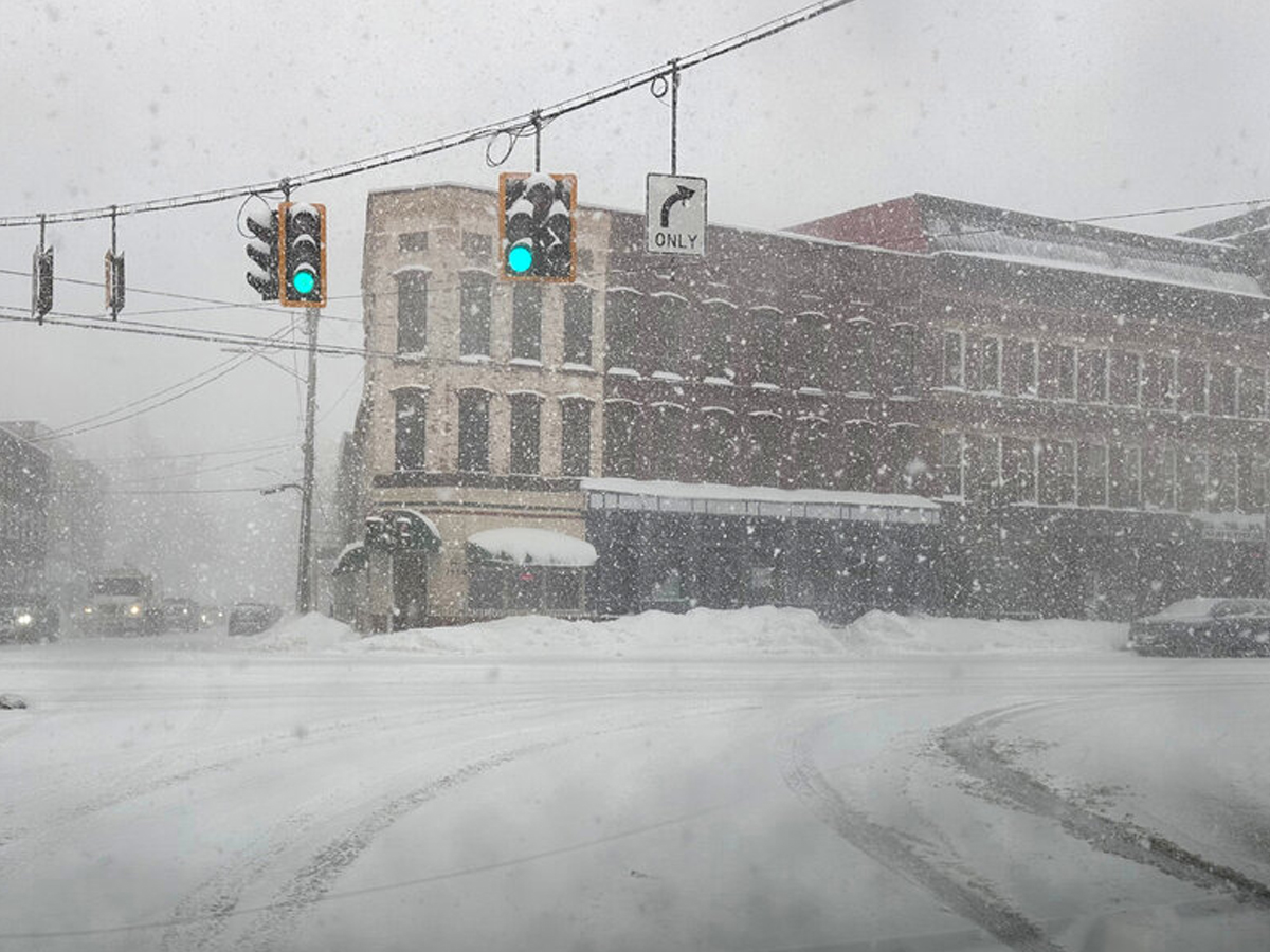
In the Northeast, including New York and Massachusetts, forecasts show snow totals of 8–18 inches, possibly followed by freezing rain and sleet that will make road conditions extremely hazardous.
Even regions not expecting significant snow will still face dangerously cold temperatures and wind chills, with many areas dropping below freezing.
Officials warn that ice buildup on power lines and trees could lead to long-lasting outages, leaving residents without heat or electricity in extreme cold.
Travel has already been disrupted, with flight cancellations and advisories from major airlines, and road travel is expected to become increasingly hazardous as the storm advances.
Kansas is primed for significant snow and blizzard‑like conditions this weekend as the storm moves across the central Plains. Roads could become dangerously slick and visibility low, prompting travel advisories and emergency preparations.
In Missouri, heavy snowfall combined with bitter cold will make road travel hazardous from Friday through Sunday. The state faces snow totals that could disrupt daily routines and strain local power and transit systems.
Arkansas expects a mix of snow, sleet, and ice as the storm sweeps through, especially Friday night into Saturday. Ice accumulation on roads and bridges could make travel especially risky and may knock out power in some parts.
Kentucky will likely see both significant snow and threatening ice, which could compromise highways and daily life. Governments are urging residents to prepare for slippery surfaces and possible interruptions to travel and services.
West Virginia’s higher elevations will be hit with heavy snow and ice, especially along key travel corridors like I‑81. The combination of steep terrain and winter weather could slow emergency response and travel.
Virginia faces widespread snow and ice, particularly in central and western areas, complicating travel on major highways. The mix of precipitation types will challenge road crews and commuters alike.
New Jersey is preparing for heavy snow with localized flooding concerns as the storm approaches the coast. Emergency measures are in place as snowfall can accumulate rapidly and create treacherous streets.
Though far south, Texas will deal primarily with ice and freezing rain that can coat roads and power lines, leading to outages. Northern regions may see some snowfall mixed in as temperatures plunge.
In Oklahoma, areas including Oklahoma City are expected to receive several inches of snow along with ice, making major highways difficult to navigate. Freezing temperatures following the storm will prolong hazardous conditions.
Northern Louisiana and much of Mississippi are in the path of freezing rain and ice, which poses a risk to power infrastructure and could lead to extended outages. Ice‑laden trees and wires present added danger.
Tennessee will receive several inches of snow with lingering icy conditions, making travel extremely dangerous this weekend. Officials have stressed taking winter weather warnings seriously.
The Carolinas face high risks of ice accumulation, especially in the northern and central parts of both states. Ice build‑up can bring down power lines and make roads impassable for days.
Illinois, especially central areas, could see heavy snow and gusty winds that reduce visibility and create drifting conditions. The storm will make travel difficult and possibly disrupt local services.
Parts of Indiana and Ohio are forecast to receive significant snow, worsening road conditions throughout the weekend. Snowfall totals may challenge snow removal crews and delay travel.
Pennsylvania is expected to see heavy snowfall as the storm pushes into the Northeast, with strong winds adding to the cold. Cities in the western part of the state could face some of the highest totals.
New York State will confront heavy snow banding followed by sleet and ice as the system pulls through, especially in the southern and central regions. The mix will create dangerous travel and icing problems.
In northern New England, including Massachusetts, New Hampshire, and Maine, snow will continue into Monday with some areas expected to pick up significant totals. Winter weather may affect school schedules and road safety.
This storm is shaping up to be a significant winter event with widespread impacts. Residents from the Deep South to New England should take warnings seriously and prepare now for ice, snow, and extreme cold over the weekend and into early next week.