
A powerful and rapidly intensifying winter storm, expected to develop into a formidable “bomb cyclone,” is preparing to impact the U.S. East Coast this weekend, bringing hurricane-force winds, blizzard conditions, and extreme cold from the Carolinas to New England. Forecasters warn the storm may trigger life-threatening dangers, including coastal flooding and widespread power outages.
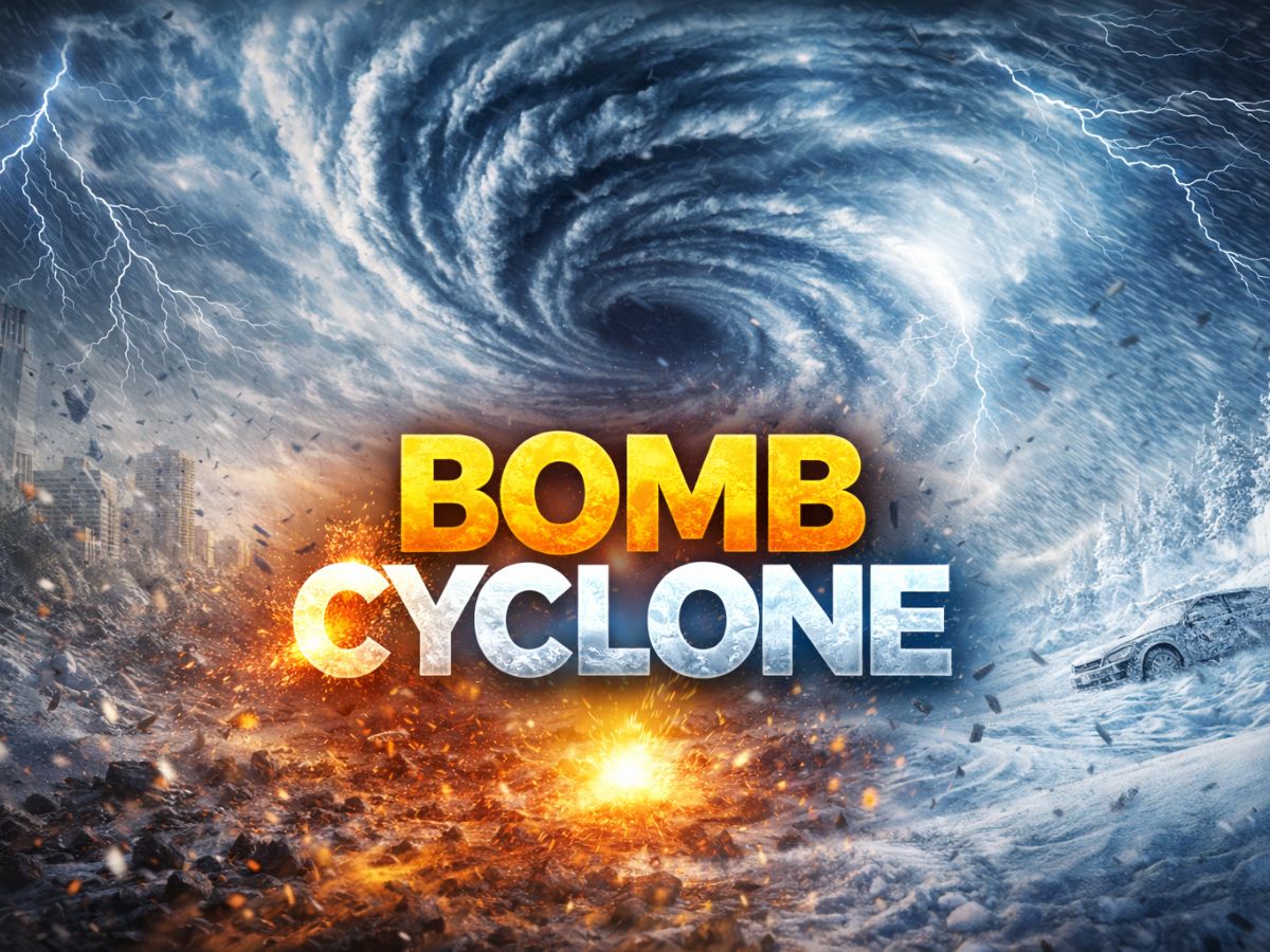
What is a Bomb Cyclone?
A bomb cyclone is far more than a severe winter storm; it is a mid-latitude storm system that goes through bombogenesis, or explosive cyclogenesis. This process begins when the storm’s central atmospheric pressure plunges sharply—at least 24 millibars over 24 hours. A powerful “vacuum” effect is created by such a quick reduction in pressure, drawing surrounding air inward quickly. The result is a powerful storm that can generate hurricane-force winds, intense precipitation, and extreme cold, rivaling a tropical hurricane but fueled by the meeting of cold Arctic air and warm ocean moisture.
What is the Phenomenon of Bombogenesis?
The phenomenon is a specific, dramatic weather event defined by its cause and effect:
The Cause: It is brought on by the forceful collision of two opposing air masses. A warm, humid air mass, usually from the Gulf Stream in the Atlantic Ocean, collides with a cold, dry air mass from the Arctic or Canada.
The Effect: North Carolina and Virginia are expected to be the most severely affected states. Cities like Virginia Beach, Norfolk, and Raleigh are most likely to experience blizzard conditions and heavy snowfall (6–12 inches). On the Outer Banks, there could be severe coastal flooding and wind gusts of up to 70–80 mph.
When Will the Bomb Cyclone Hit?
According to the Meteorological Department, the storm is projected to develop and impact the coast in distinct phases over a 48-hour period.
Start: Impacts will begin late Friday night, January 30, starting as rain and mountain snow in the Southeast.
Peak: The most severe conditions, including the period of most rapid intensification (bombogenesis), are forecast for all day Saturday, January 31.
Conclusion: The storm will track north, impacting the Northeast through Sunday, February 1, before moving out to sea by Sunday evening.
Which Locations and Cities Are Supposed to Be Hit?
The bomb cyclone will affect the entire Eastern Seaboard, with impacts stretching over 1,000 miles. The hardest-hit areas will be in a primary “epicenter,” with significant effects reaching major population centers and even the Deep South.
Primary Impact Zone (The Epicenter): The hardest hit states are anticipated to be North Carolina and Virginia. Heavy snowfall (6–12 inches) and blizzard conditions are most likely to occur in cities like Virginia Beach, Norfolk, and Raleigh. There may be significant coastal flooding and wind gusts of up to 70–80 mph on the Outer Banks.
Major Northeast & Mid-Atlantic Cities: The storm will push northward on Sunday. New York City is bracing for snow and a record-breaking cold snap. Boston, Providence, and Cape Cod are in line for significant snowfall (6+ inches) and coastal flooding. Philadelphia, Washington D.C., and cities in New Jersey are on the fringe, where the storm’s exact track will determine final snow totals.
Secondary & Fringe Impacts: Remarkably, the cold air may push as far south as Georgia, Tennessee, and Florida. Cities like Atlanta and Knoxville may get light snowfall, while areas of Florida are under freeze warnings with the possibility of infrequent snow flurries, but major snowfall is not anticipated.
What Are the Key Hazards?
This storm is dangerous due to a combination of compounding threats:
Life-Threatening Winds & Blizzards: Particularly in coastal regions from the Carolinas to New Jersey, blinding whiteout conditions will result from hurricane-force wind gusts over 70 mph combined with heavy snow.
Extreme Cold & Wind Chill: Temperatures will drop due to bitter Arctic air, with wind chills in the Mid-Atlantic possibly reaching -10°F or below, increasing the danger of hypothermia and frostbite.
Major Coastal Flooding: The intensity of the storm will push water toward the coast at astronomical high tides. This might lead to serious floods in vulnerable coastal communities.
Widespread Disruptions: The high winds and heavy, wet snow pose a severe threat to cause prolonged power outages, tree damage, and impossible travel conditions.
FAQs: The Bomb Cyclone
Q: How is a bomb cyclone different from a hurricane?
A: Both have strong winds, but their energy sources differ. Hurricanes draw power from warm ocean water in the tropics. Extratropical in nature, bomb cyclones are powered by the temperature differential between warm oceanic air and cold continental air.
Q: Can the storm’s path still change?
A: Yes. The exact track is critical, especially for cities in the Mid-Atlantic like Washington D.C. and Philadelphia. A shift of 50-100 miles west or east will drastically change snowfall amounts. Residents must monitor the National Weather Service for the latest local warnings.
Q: Is it safe to travel during this storm?
A: No. Travel is highly discouraged from late Friday through Sunday in the impacted regions. Blizzard conditions will make roads impassable, and high winds make any travel dangerous.