
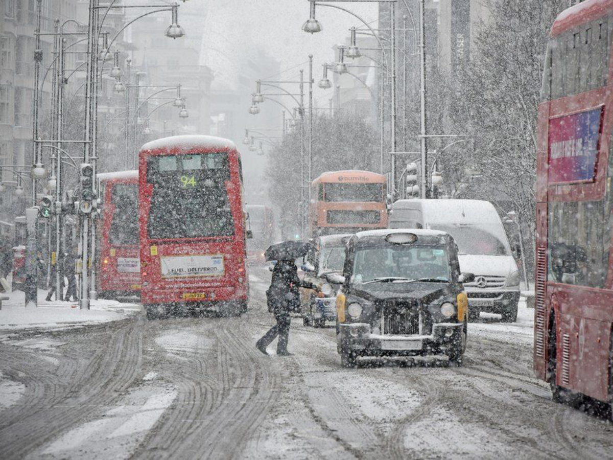
Rare Red Weather Warning: A rapidly intensifying winter storm has pushed the UK into one of its most serious weather alerts in nearly a year. Storm Goretti brings with it a volatile cocktail of extreme winds, snow and ice with plunging temperatures, according to a rare red wind warning from the Met Office. Forecasters warn gusts could reach 100mph in exposed areas with a ‘real risk to life’ from widespread disruption. The warning marks a critical moment in an already harsh winter spell affecting much of the country.
Met Office issues rare ‘danger to life’ wind warning
On Thursday afternoon, the Met Office escalated the alert level for Cornwall and the Isles of Scilly, as the high winds could cause structural damage, fallen trees as well as damage from debris. The red warning will last from 4 pm to 11 pm, which is a time when the wind speed is set to increase rapidly rather than rising gradually. This is in addition to a possible loss of electricity supply, which could also affect mobile communications.
The Met Office has issued a RED weather warning for extreme winds across Cornwall.
Storm Goretti will bring very strong winds that are expected to cause significant disruption from 4pm until 11pm today (January 8).
1/3 pic.twitter.com/7DKnipcLKN
— @cornwallcouncil (@CornwallCouncil) January 8, 2026
What is a Red Weather warning?
Red warnings are the highest level alert within the warning system used in the UK. They are released only when there is forecasted severe weather with a strong likelihood of occurrence and the possibility of serious impacts. According to the Met Office, red warnings are to be used when there is a threat to life, widespread damage to the structure of the environment, and transport disruption. The latest red warning issued for wind occurred almost a year ago with Storm Eowyn in Scotland.
Storm Goretti: When & Where will it be hit?
Storm Goretti as known by Meteo France, is moving steadily across the Atlantic Ocean, then is set to brush the UK. It is expected to hit hardest in Cornwall.
- Cornwall & Isles of Scilly: Peak impact expected between 4:00 pm and 11:00 pm on Thursday with violent wind gusts of 90–100 mph in exposed coastal areas risk of flying debris, power outages and structural damage under a rare red warning.
- South-West England: Strong winds building rapidly from mid-afternoon Thursday with gusts of 60–80 mph, easing later in the night but continuing to cause hazardous conditions.
- Southern England: Gusts of 50–70 mph expected from Thursday evening into early Friday leading to travel disruption and possible fallen trees.
- Wales: Snow developing from Thursday evening with 5–10 cm widely, 15–25 cm on hills above 200 metres and a small chance of up to 30 cm on higher ground, impacts likely through Friday morning.
- Midlands (West and East Midlands): Heavy snow overnight Thursday to Friday, bringing 5–15 cm in many areas, icy roads and difficult driving conditions around Birmingham, Leicester and Nottingham.
- Peak District & South Yorkshire: Accumulating snow from late Thursday night with 10–25 cm possible on higher routes, increasing the risk of road closures into Friday morning.
- Northern Ireland: Overnight into Friday morning, falling temperatures and freezing rain increase the risk of ice with local travel disruption expected.
- Scotland: Lighter snow showers and icy conditions continuing into Friday with intermittent travel delays in exposed and rural areas.
Rare red warning issued for extreme winds in parts of south-west England
The red alert is for Cornwall and the Isles of Scilly, which will see a deterioration of the conditions quickly. The storm has been termed a multi-hazard event by the forecasters. The wind is considered the most serious threat to the area. Additionally, the snow and ice will pose danger to the inland areas. A different red alert is issued for Jersey because of the broader impact of the storm.
Storm Goretti ‘Weather Bomb’ forces Travel disruption
Travel networks across the UK are already under strain with further disruption expected into Friday:
- Roads: National Highways has issued amber snow warnings for the West and East Midlands, warning of hazardous driving between Birmingham, Leicester and Nottingham. Ice is a concern in Northern Ireland overnight.
- Rail: All train services in Cornwall are suspended from 6pm. National Rail warns of cancellations and delays across England, Scotland and Wales, particularly in snow-affected northern regions.
- Air: Most major UK airports plan to operate, but Jersey and Guernsey airports will close from 6pm. Eurostar services may face delays or cancellations.
How long will the cold weather last?
UK Health Security Agency appears to expect this cold weather to continue throughout the weekend. The Amber cold health alert will remain until this coming Sunday, January 11. Overnight temperatures are predicted to remain either at or below freezing. It is advised to heat the house to 18°C or more, to keep windows shut at night and to wear layers for warmth. The cold weather payments of £25 may be made to qualified households if the area has observed temperatures at or below 0°C for seven days.