
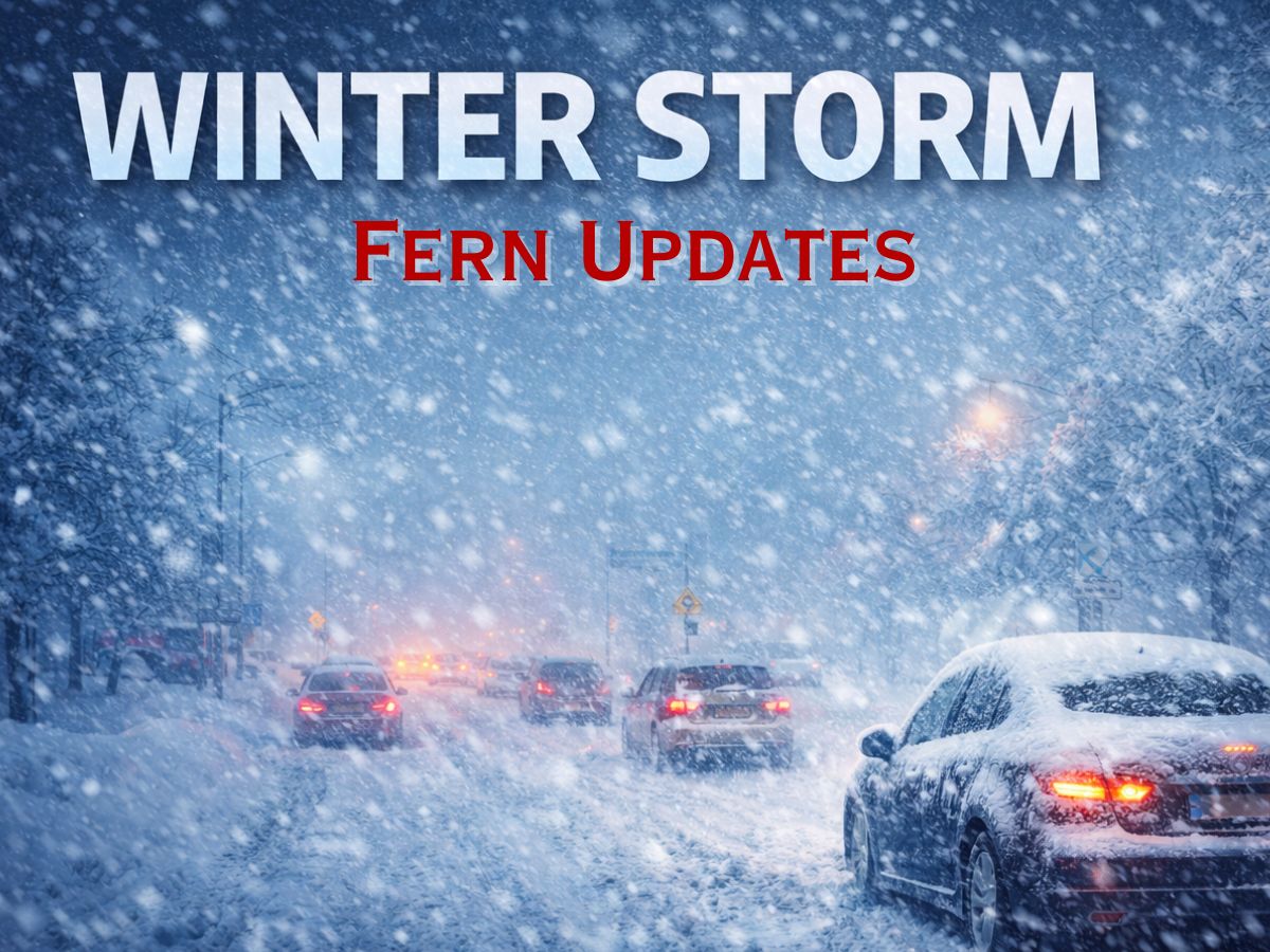
Winter Storm Fern is currently affecting a large part of the U.S., stretching more than 2,000 miles from the Southwest to the Northeast. As of today, around 130 million people are under weather alerts for snow, sleet, and cold conditions. States have issued warnings as the National Weather Service recommends caution during travel and preparation for possible power outages or fallen branches.
Major City & Regional Forecast: State of Emergency Updates
Texas (Dallas, Fort Worth, Austin, San Antonio): Disaster Declaration Active
- A “generational” ice storm with significant freezing rain. Ice accumulations over 0.5 inches are likely, leading to widespread power outages and impossible travel conditions.
- Temperatures: Wind chills will feel as low as -10°F. Governor Greg Abbott has issued a disaster declaration for 134 counties.
Oklahoma (Oklahoma City, Tulsa): Emergency Declared
- Heavy ice and snow mix. Treacherous conditions began after sunset Friday. Travel is expected to become extremely hazardous.
Arkansas & Louisiana (Little Rock, Memphis, Shreveport): Emergency Declared
- Crippling ice accumulation. The storm’s core will bring prolonged freezing rain, posing a severe risk to power infrastructure and making travel “impossible.”
Tennessee & Mississippi (Nashville, Memphis, Jackson)
- Major ice storm threat extends into the Tennessee Valley. Memphis is bracing for significant ice accretion.
Georgia & The Carolinas (Atlanta, Charlotte, Raleigh): Emergency Declared
- “Crippling” ice and freezing rain starting late Friday. Northern Georgia and the Carolinas face potential power grid failures and hazardous travel.
Mid-Atlantic: Virginia, Maryland, Washington D.C., West Virginia
- Washington D.C.: The city has fully deployed its snow team. Expect heavy snow (6-12″), potentially mixing with sleet.
- Virginia & Maryland: State of Emergency. Northern and central Virginia could see 10-15+ inches of snow.
- West Virginia: “State of Preparedness” declared, with up to 24 inches possible in higher terrain.
Northeast: New York, Pennsylvania, New Jersey, Boston
- New York City: Peak impacts Sunday. Forecast for 8-16 inches of snow.
- Philadelphia & New Jersey: Heavy snow develops late Saturday. 6-12 inches expected.
- Boston: The storm intensifies Sunday, bringing the potential for over a foot of snow and blizzard conditions.
- Pennsylvania: Parts of the state could see up to 2 feet of accumulation.
Midwest: Ohio, Illinois, Missouri, Kentucky
- Heavy snow of 6-12 inches pushing through the Ohio Valley, followed by an Arctic blast.
Critical Timeline & Associated Dangers
Friday, Jan 23: Storm initiates with heavy snow/ice in Texas, Oklahoma, and the Southern Rockies.
Saturday, Jan 24: Ice storm expands through the South; snow spreads into Midwest and Southeast.
Sunday, Jan 25: PEAK IMPACT for the Northeast and Mid-Atlantic with intense snow rates.
Monday, Jan 26: Snow lingers in New England as a record-breaking Arctic blast sets in across the eastern U.S., with wind chills plummeting to -40°F to -50°F in the Upper Midwest and Great Lakes.
Travel & Infrastructure Warnings
Aviation: Major airlines, including Delta, have canceled hundreds of flights across Texas, Oklahoma, Arkansas, Louisiana, and Tennessee.
Power Grids: Utility companies nationwide are warning that ice accumulation combined with the coldest temperatures since the 2021 storm could lead to prolonged, multi-day power outages.