Winter storm warnings 8 states: 20 inches snow, 70 mph winds hit CA, OR, UT; Sierra 5+ feet already. NWS travel alerts for Feb 19 chaos.
Winter Storm Warnings Issued for 8 US States Today (Image: X)
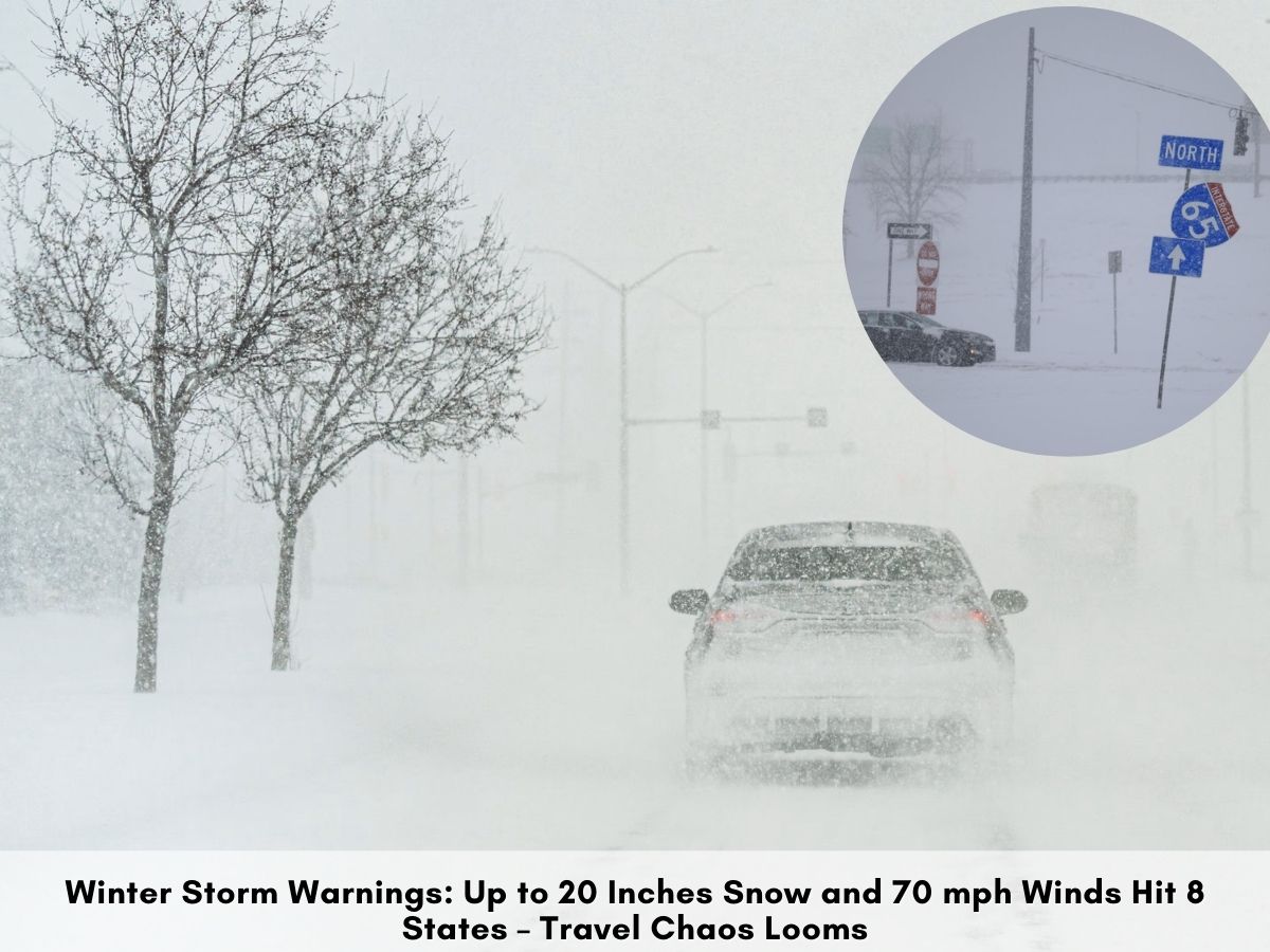
The National Weather Service issued winter storm warnings Thursday for eight states facing up to 20 inches of snow and 70 mph winds. Heavy precipitation pounds the West Coast, with Sierra Nevada already seeing over 5 feet and more expected by Friday morning.
Warnings cover Alaska, Arizona, California, Nebraska, Oregon, South Dakota, Utah, and Wyoming as of Thursday. The NWS highlighted ongoing West Coast impacts from rain, snow, and thunderstorms. Southern California may see damaging wind gusts alongside coastal rain.
Alaska targets Denali National Park, Anderson, Healy, and Kantishna with 3-6 inches accumulations. Arizona's Fredonia, Jacob Lake, and Kaibab Plateau forecast 2-12 inches with 40 mph gusts. These alerts emphasize hazardous travel starting immediately.
Broad regional effects span from Pacific mountains to Plains lowlands.
California's Sierra Nevada reports over 5 feet at Donner Pass in 72 hours, with 55-70 inches in northern and central areas per AccuWeather. Additional up to 3 feet snow pairs with 70 mph winds through Friday. Heavy snow persists in higher elevations amid the multi-day barrage.
Oregon warns Bray, Tennant, Mount Shasta, McCloud, Dunsmuir, and Pondosa for 4-12 inches, up to 20 inches at high terrain. Statewide travel becomes very difficult or impossible, especially elevations. NWS stresses chain requirements and road closures likely.
Nebraska expects 4-8 inches statewide with north winds to 40 mph, causing blowing and drifting snow. Travel difficulties arise across most areas due to low visibility and accumulation. High winds exacerbate morning commutes Thursday.
Utah's Southern Mountains including Alton and Brian Head forecast up to 18 inches Thursday afternoon to Friday. Zion National Park above 6,000 feet sees up to 15 inches; Joes Valley, Fish Lake, Cove Fort get 9-15 inches. Widespread impacts hit parks and highways.
Wyoming's Converse County lower elevations like Deer Creek, Douglas, Glenrock, and Bill face 4-8 inches. NWS warns of widespread blowing snow reducing visibility for dangerous travel.
South Dakota's Campbell County forecasts 2-3 inches with winds causing blowing snow and reduced visibility. Slippery roads threaten Thursday morning commutes; plan alternate routes or delays. Falling snow combines with gusts for hazardous conditions.
Arizona's northern areas like Fredonia and Jacob Lake predict 2-12 inches on Kaibab Plateau with 40 mph winds. Isolated higher totals possible amid the broader storm track. Backcountry access turns perilous quickly.
Alaska's interior spots including Denali see 3-6 more inches atop existing cover. Remote parks and roads face heaviest additional loads from the system.
A: Alaska, Arizona, California, Nebraska, Oregon, South Dakota, Utah, Wyoming.
A: Up to 3 feet more possible; already over 5 feet at Donner Pass, 55-70 inches in 72 hours.
A: 70 mph in California Sierra; 40 mph in Nebraska, Arizona, Wyoming.
A: Up to 20 inches in high terrain areas like Mount Shasta region.
A: Up to 15 inches above 6,000 feet through Friday.
Disclaimer: This information is based on inputs from news agency reports. TSG does not independently confirm the information provided by the relevant sources.