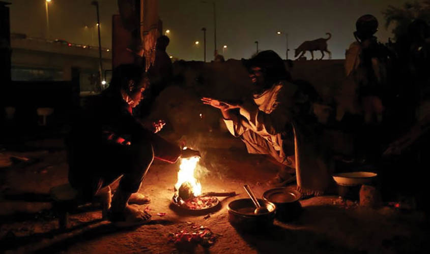
NEW DELHI: Delhiites will heave a sigh of relief as weathermen predict the approaching week to be warmer than the harsh December. Even as the “western disturbance” (WD) is likely to hit Delhi, Haryana and parts of Uttar Pradesh around Sunday, a dry spell is expected throughout the week
WD brings clouds and rain in its wake, so temperature at night will rise to a comfortable level. December is the month when winter sets in North-West India as the minimum temperature falls below 4-5 degree resulting in a cold wave. This December was the clearest month in last 22 years with visibility unexpectedly high. It has recorded the coolest temperatures for a long span of time in the second half of the month.
Speaking to The Sunday Guardian, B.P. Yadav, Deputy Director-General at Regional Meteorological Centre in Delhi, explained that possible reasons of the longest cold-spell. “In 2018, the second part of December was slightly colder than normal. We called it the third coolest month in last 50 years in Delhi, mainly because both the minimum and night temperatures constantly remained below normal,” he said.
“Usually, we receive the chill in atmosphere from the northerly wind coming from Himalayan side. WD makes changes in the wind pattern and there is no system to divert the pattern,” he added.
“Whenever snowfall occurs in the hills, temperatures go down to around zero, even sub-zero level. But since this time, there was no snowfall and the sky was clear, the temperature automatically fell to -8 to -10 degree in Kashmir valley, which should have been around 0 or -2 degree,” said Yadav.
Even as 2018, being an El Nino year, recorded a warm month of November and the India Meteorological Department (IMD) had warned of a warmer winter as reported by the media, temperatures dipped as low as 3.6 degree making December the third coolest month in the last 50 years.
Explaining this phenomenon, Yadav said, “The chill was coming from the northerly area was much more than usual. Since the sky was clear here, so the night constantly remained colder. This pattern continued for 15-20 days uninterruptedly as there was also no effect of WD.”
Giving rest to the claims of a warmer winter based on El Nino patterns and explaining the failed monsoon of 2018, Prof A.L. Ramanathan of School of Environmental Sciences at Jawaharlal Nehru University (JNU) in New Delhi, said, “Indian summer monsoon has different sources and whatever snowfall, rain etc we get from Himalayas is due to the WD coming from Mediterranean region. 2018 was El Nino year, which has major influence on climate patterns and was the reasons behind monsoon failure in 2018.”
Dispelling any reports of this winter having an effect on upcoming monsoon, Yadav elaborated that there is absolutely no relation between winters with monsoon and summers. “It’s a general assumption that warmer winters favour a good monsoon but this is dependent on more than one factor. A better and more accurate prediction of the winters will be released by us in early March,” he added.
According to an IMD report, temperature is to remain slightly above normal over western Himalayan region till 17 January which may cause wide snow/rainfall activities. Moreover, minimum temperatures are to be above normal in some parts of Northwest, West and Northeast India.

