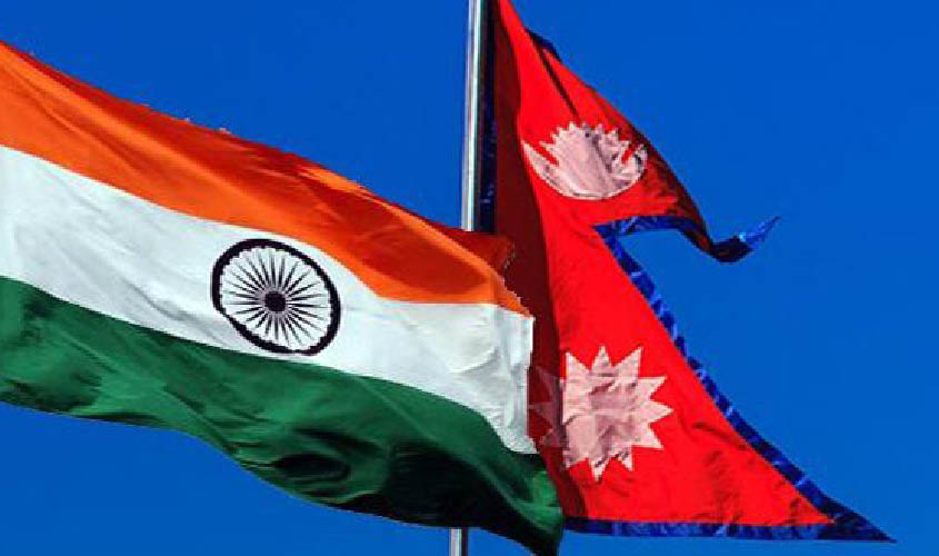
NEW DELHI: Anti-India forces and vested interests are “manufacturing” protests in Nepal over the inclusion of the Kalapani area of Uttarakhand into India’s new political map. Nepal has objected to the new map and has activated diplomatic channels with India to have a dialogue on the issue. Nepal’s ambassador to India, Nilamber Acharya held a meeting with Foreign Secretary Vijay Gokhale recently during which he raised the boundary issue.
Sources said that Nepal has informed India that any boundary dialogue on Kalapani will also concern China since it is a trijunction where Indian, Nepalese and Tibetan (Chinese) borders meet. The Nepal government has made it clear that Kalapani is an integral part of their country and that talks are still on between New Delhi and Kathmandu over this “unresolved” area.
Nepal’s Ministry of Foreign Affairs said in a statement: “The Nepal government firmly believes that Kalapani is a part of Nepal. Foreign Secretaries of both the countries have been assigned the responsibility to resolve the remaining border-related issues between India and Nepal. It should be resolved in bilateral consensus and any unilateral actions will not be unacceptable to the Nepal government.”
The statement has also reminded the Indian side that the Foreign Minister-level joint commission, in 2014, had delegated the Foreign Secretaries of both countries to work out a solution to the outstanding border-related issues in consultation with experts.
Asked to comment on the matter, Ministry of External Affairs (MEA) spokesperson Raveesh Kumar said: “Our map accurately depicts the sovereign territory of India. The map has in no manner
revised
Kumar also said there may be vested interests who are trying to create differences between the two countries. “I think it is very important to note that both sides should guard against vested interests which are out there to create some differences between the two countries.”
Kalapani is a 35 sq km area in Uttarakhand’s Pithoragarh district under the control of the Indo-Tibetan Border Police (ITBP). Uttarakhand shares an 80.5 km long porous border with Nepal and a 344 km border with China.
There have been protests in Nepal ever since the new map was released. Some Nepalese political party leaders parties have met Indian ambassador to Nepal, Manjeev Singh Puri. The protests forced Nepal’s Prime Minister K.P. Sharma Oli to call an all-party meeting on the issue.
While 97% of the border between India and Nepal has been demarcated, the portions on Kalapani (and also Susta) remain unmarked. Both India and Nepal claim Kalapani as an integral part of their territories—India as part of Uttarakhand’s Pithoragarh district and Nepal as part of the Darchula district.
In 2014, a joint working group on boundary talks was revived. The same year, when Narendra Modi made his maiden visit to the country as Prime Minister, he assured Nepal that the issue would be resolved, sources said. The PM also directed the group to come together and discuss the issue.

