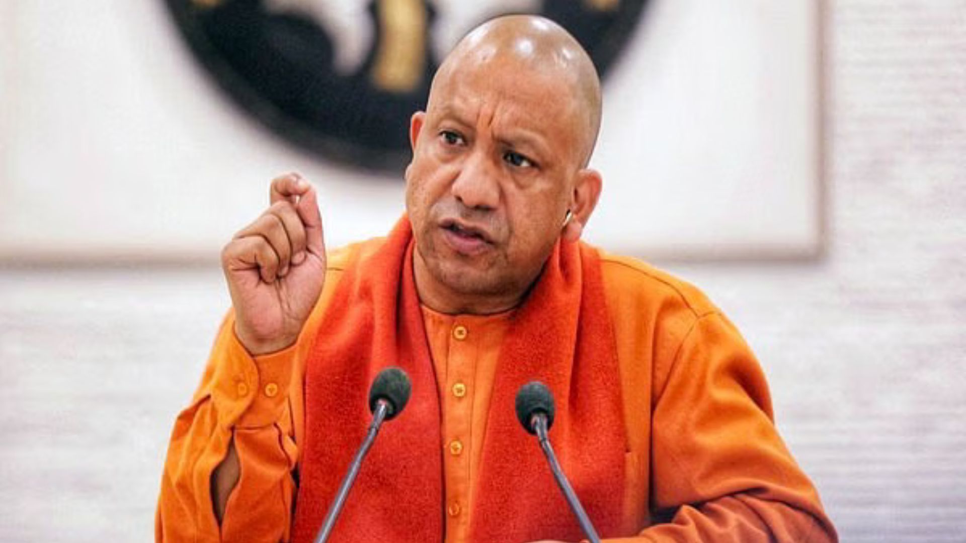
New Delhi: Uttar Pradesh Chief Minister Yogi Adityanath is bringing Prime Minister Narendra Modi’s vision of a ‘Digital Mahakumbh’ to life by developing the newly created 76th district, Mahakumbh Nagar, with state-of-the-art civic amenities in record time.
For the first time, the Mahakumbh fair is being organized digitally. The ‘Mahakumbh Land and Facility Allocation’ portal enables users to access land and facilities with just a click. The Prayagraj Mela Authority has implemented a system ensuring complete transparency and departmental accountability for land allocation and basic services. Applicants can now submit their applications online and track the status of their allocated land and facilities at their convenience.
In Kumbh 2019, details and allocations for over 5,500 institutions were digitized. This time, the allocation process involves over 10,000 institutions, including government, emergency, social, and religious organizations. The transparent system allows saints and organizations to complete their work without standing in lengthy queues. The Mahakumbh, a significant event in Sanatan Dharma, is expected to attract over 40 crore devotees to Prayagraj for a holy dip in faith. Additionally, lakhs of devotees will observe Kalpavas during this ‘Amrit Mahotsav Mahakumbh’ of the Amrit Kaal era.
According to Additional Mela Officer Vivek Chaturvedi, a GIS-based map has been used to plan the Kumbh Mela layout, spanning 4,000 hectares across 25 sectors. Pre- and post-monsoon drone surveys were conducted to create detailed topographic maps, resulting in high-resolution GIS-based layers and geo-referenced CAD files with an accuracy of 0.5 cm. Devotees can easily locate key public utilities and emergency services such as police stations, checkpoints, command centers, hospitals, parking lots, food courts, vending zones, toilets, pontoon bridges, and roads using Google Maps.
The Prayagraj Mela Authority ensured equal opportunities by accepting applications from institutions that participated in Kumbh 2019. Applications were invited through the portal from October 29, 2024, to November 12, 2024, following extensive publicity in local and national newspapers.
Using data from Kumbh 2019, land and facilities were allocated in accordance with established rules. After reviewing applications and obtaining approval from the authority, digitized facility slips were generated. Vendors can access these slips online and update information, including photos, in coordination with institutions.
This digital system promotes transparency by enabling applicants to track updates on their land allocation and facilities, and to raise objections if necessary. To assist pilgrims and streamline requests, a team of ‘Kumbh Fellows’ has been deployed to support the Mela administration. Preparations for the grand Mahakumbh began over two and a half years ago, with officials working tirelessly to ensure its success. Now, the groundwork is complete, and the government is focused on making Mahakumbh 2025 a divine, grand, and secure event for devotees. Compared to Mahakumbh 2013, the area for Mahakumbh 2025 has doubled, expanding from 18 to 25 sectors, with the number of ghats increasing from 7 to 10, highlighting the event’s significant scale.

