‘China now realises that in many places, it may find Indian domination in territories it believed by default was Chinese’.
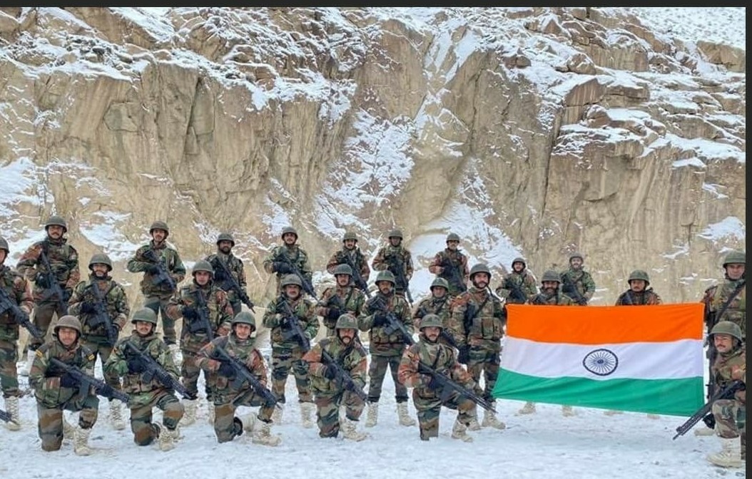
NEW DELHI: Indian army’s preparedness, positioning of men and assets, and rapid infrastructure-related developments are reducing the number of friction points on the Chinese border which remains “open to contest”. This is forcing the Chinese armed forces to make desperate attempts to change the status quo at places wherever it can across the borders that it shares with India.
Military strategists who are directly tasked with keeping a watch on India’s preparedness told The Sunday Guardian that the incident that took place at Tawang, Arunachal Pradesh, on 9 December was nothing “outside ordinary” and it was in line with intelligence reports that the army had got and was prepared for. While the army, as was evident from the statement released to the media, treated the Chinese incursion attempts as a “normal” day in business, the media blew it out of proportion. The officials told this newspaper that such incidents of soldiers shouting at each other and in some cases, engaging in a fist fight, happen at regular intervals between the two sides since a large section of the India-China border was not still properly delineated despite India’s on-record attempts to ask China to come on the table and exchange details in respect of regions where both sides believe they have a problem in accepting a demarcation line.
The situation on the ground, as far as India-China is concerned, has gone through massive changes post the 15 June 2020 Galwan, Ladakh incident where the Indian army and Chinese men fought with each other.
The number of troops and machines that India now maintains, the number of which will keep on increasing with every passing year, is unprecedented in the long history of both countries.
As per Indian records, it shares 3488 km of border length with China that runs along the States of Jammu & Kashmir, Himachal Pradesh, Uttarakhand, Sikkim, and Arunachal Pradesh. The border starts from North-West of the Karakoram Pass and ends at Arunachal Pradesh.
China, till now, has refused to engage in a serious discussion on this issue which the senior military strategists attribute to the sole intention of using this “whose land is it” question as a tool for “coercive diplomacy” which it believes it can use as leverage at the bilateral level and seek advantages from India.
However this “perceived” Chinese advantage, Indian officials said, was in its last leg and by the end of the next five-seven years, the border delineation, even if not completed on the maps, will be visible on the ground. “The friction points are rapidly decreasing as we are establishing our presence in ‘gray’ areas and ensuring that no doubt remains on whose land it is. The past norms are changing rapidly. There are certain areas where the parties would come across each other once a year while patrolling and then after establishing temporary domination would leave. The rest of the time, it was neither visited by us, nor by them. Now, such areas and points are coming down. We are marking our presence very strongly in areas where they believed it was their dominion. In the coming years, very few points will remain open to contest. Either it will be under our domination, or under theirs,” a senior army strategist told The Sunday Guardian on Friday. According to the army, the Chinese too are realizing the fact that the Indian troops are now claiming land and territory that the People’s Liberation Army (PLA) thought was theirs by default. “Their traditional idea was very simple- any territory that is not marked by India’s presence belongs to them. That is not being allowed to happen now which is making them desperate and aggressive. The world is talking about infrastructure it is preparing on its side but an important question to ask is what is forcing them to take such rapid construction in such inhospitable terrain? Like we realize our adversaries’ strengths and ideas, they too know what we are doing and what we intend to do,” a senior officer posted at one of the army headquarters near the India-Chinese border near Arunachal Pradesh said.
“Tomorrow if a serious attempt is made by them in reciprocation of our push to delineate the border on maps, things will be decided on the basis of the ground realities. And China now realizes that in many places it might find Indian domination in territories which it believed by default was theirs,” said the officer.

